Sharon, your link with the map notes:
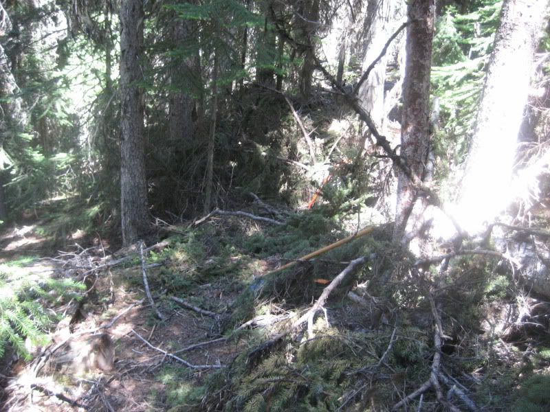
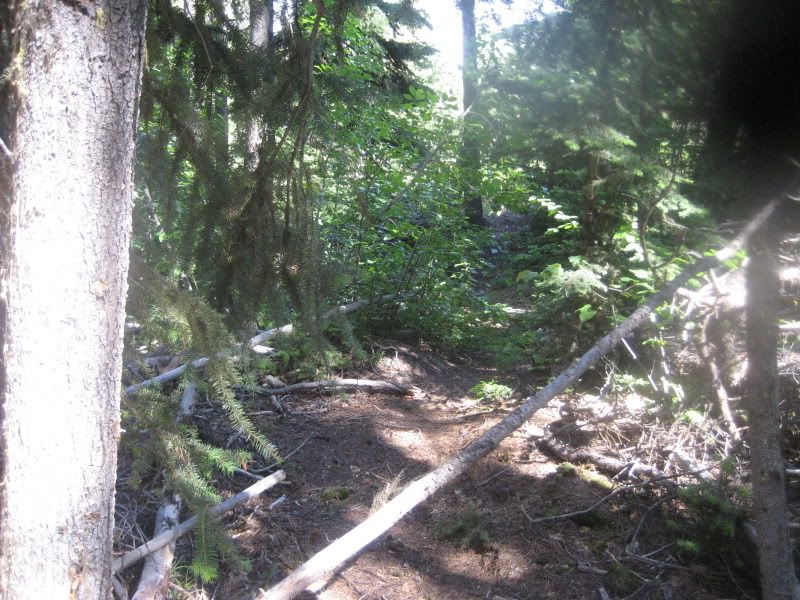
There is a new trail that is not on the map, nor do we have the GPS info for it that runs fall line down Too Much Info.
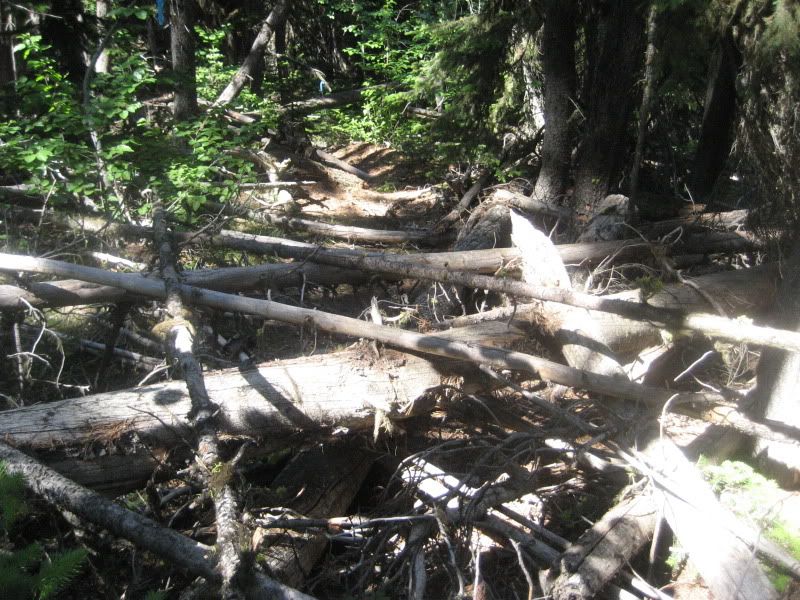
This trail is called the Ridge Trail. TMI meets it a couple times as it meanders back and forth, notable at a couple of small jumps/drops.
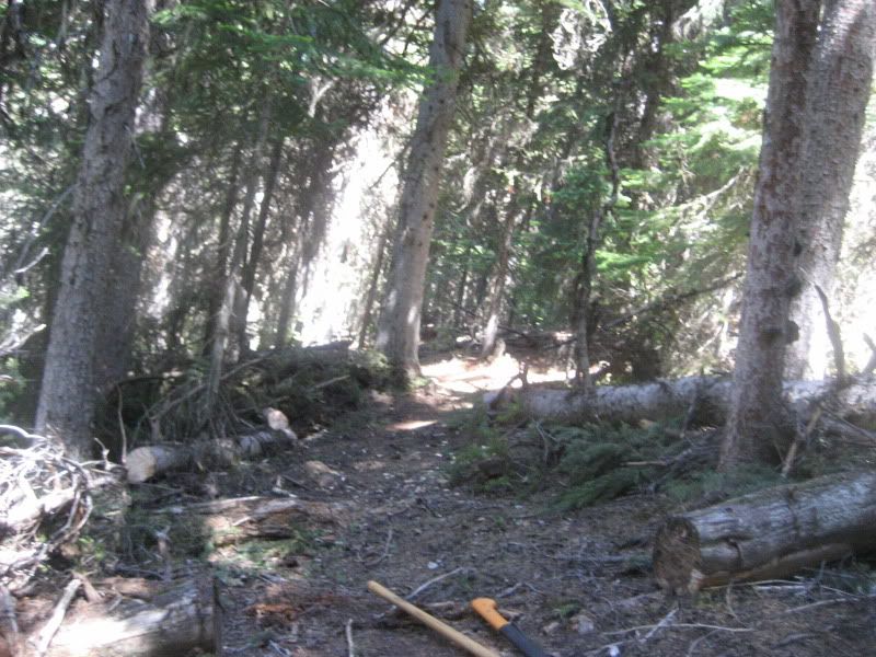
To access the top of "Main Ridge", you ride up TMI until you hit the second last steep pitch up to Lone Pine (pre-grasslands steeps). There is an obvious junction and you turn right. This singetrack goes about 200m, and you hit the ridge over Godey Creek and start heading down. Fun, steeper slabs, and some good flow, but quick. You terminate down at the road that sits just above the Info Centre Tourist loops via a couple intermediate stunts.
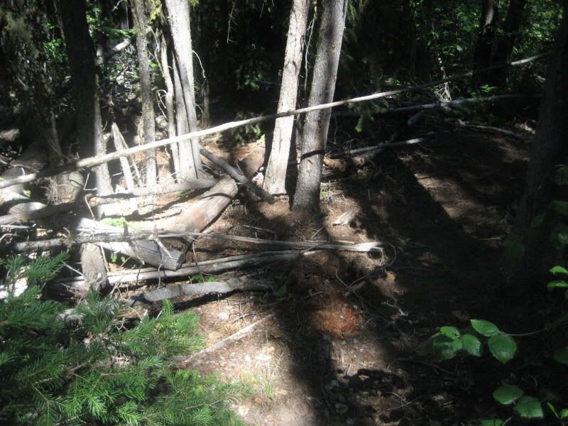
There is also a "newer" line that takes you higher to "Upper Ridge" for sake of a better name. To get her you continue to ride toward Lone Pine. As you crest the hill, but before descending down to the Lone Pine, look for an obscure trail branching left through the grass (marked by a large flat rock). Once you climb through the grass and back onto the escarpment above you, it is a very nice singletrack climb to near the summit of this small sub-peak. From here, it turns downhill through some tech steeps, some rollers, and a couple wood drops and eventually joins TMI at the junction to "Main Ridge" as noted above. Well worth the nice climb.